Massive amounts of spatial data, Helping clients understand and relate, To the world around them and its state, A powerful tool to navigate. With insights and analysis so grand, Our company takes a firm stand, In providing solutions so well planned, To help our clients understand. From patterns and trends to correlations, Our spatial data brings revelations, Helping clients make informed decisions, With massive impact on their operations.
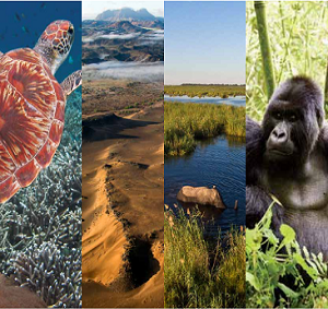
At the heart of our mission lies, A commitment to environmental ties, Using spatial data to analyze, And help conserve our precious skies. With research and community engagement, We strive for environmental betterment, Developing participatory tools for empowerment, And working towards a sustainable environment. Through collaboration and dedication, We harness the power of spatial information, to drive conservation and preservation, Of our planet for future generations.
As a geospatial company at the forefront, We harness modern technologies to confront, The challenges of our time with vibrant workers, Who bring energy and passion as problem solvers. With cutting-edge tools and techniques, Our team of vibrant experts seeks, To provide solutions that are unique, And help our clients reach their peak. From data analysis to visualization, Our geospatial services bring realization, Of the power of location information, To drive decision-making and innovation.
We specialize in Research Data Aquisition, Data Processing ,development of GIS based IoT Systems, Aerial Mapping, Remote Sensing, C# Desktop Applicaiton Development, Land and Engineering Survey as well as Project Management.
As a game-changing geospatial company, we understand the importance of working hand in hand with our clients from the very beginning. From the moment you onboard with us, we are dedicated to delivering the digital solutions that meet your unique needs.
Why should you choose us?
Our Mission
Our mission is to promptly provide decision-makers, developers, planners, and investors with accurate surveying, mapping geographical data and information. The data and information will be required for human settlements, conflicts resolutions, environmental planning and management, provision of services, resource exploration and infrastructure developments. We engage highly qualified and motivated professionals of integrity and use state art technology.
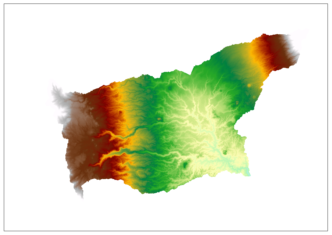
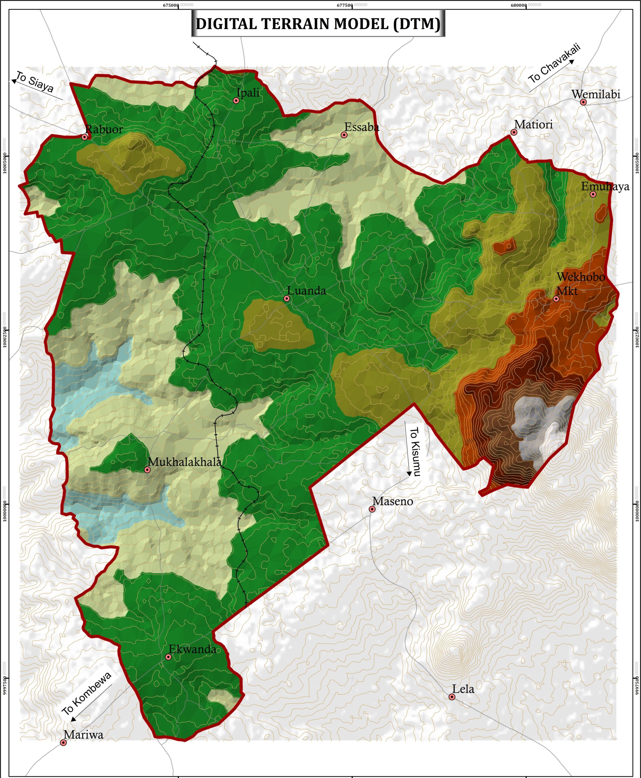
Topographical Mapping
At Anmart Developers, we pride ourselves on using the latest equipment and high-resolution data to deliver the best possible results for our clients. From drones and LiDAR to RTK technology, we harness the power of modern tools to provide cutting-edge solutions. Whether it’s for client work or research projects, our team of experts is dedicated to using the most advanced technologies to deliver accurate and reliable results. With high-resolution data at our fingertips, we are able to provide detailed insights and analysis that help our clients make informed decisions.
At Anmart Developers LTD, we provide topographical mapping services across a variety of themes. Our team utilizes state-of-the-art technology to deliver accurate and reliable maps at both small and large scales. We are committed to delivering exceptional service and exceeding our clients’ expectations
Our services
Aerial Photography
We provide high resolution aerial photographs data and satellite images that are clear and accurate to analyze.
SDI Implementations
we at offer organization a hand to set up their own geospatial infrastructure for effective management and analysis of their spatial data inhouse.
Consultants
We offer consultations to our clients in order to understand their specific requirements and provide tailored solutions that meet their needs